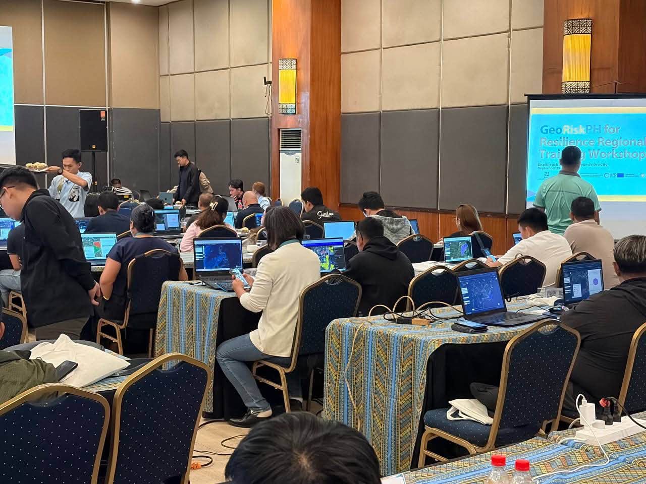
CAGAYAN DE ORO CITY — Representatives from the Provincial Disaster Risk Reduction and Management Office (PDRRMO) of Lanao del Sur, including Naim M. H. Naif and Abdul R. Ampuan from the Emergency Operations Center (EOC), alongside technical staff from various Local Disaster Risk Reduction and Management Offices (LDRRMOs) across the province, participated in the GeoRiskPH for Resilience Regional Training Workshop (Batch 5) held from September 29 to 30, 2026, at the Chali Resort & Conference Center in Cagayan de Oro City.
Organized under the Disaster Risk Reduction Enhancement at the Local Level Technical Assistance (DRREALL-TA) Project—an initiative supported by Expertise France—the two-day intensive training aimed to equip local disaster planners and technical personnel with modern geospatial risk-assessment tools. The workshop focused on practical applications of the GeoRiskPH platform, including specialized tools such as GeoMapperPH, HazardHunterPH Pro, and GeoAnalyticsPH. Delegates engaged in hands-on sessions covering account integration on the GeoRiskPH Integrated Platform (GRIP), digitizing building footprints, web and mobile mapping applications, spatial database management, and generating comprehensive hazard assessments.
Participants also submitted Geographic Information System (GIS) shapefiles of their local administrative boundaries, land use, and building footprints to build localized, data-driven disaster maps. In addition to technical mapping, the training included thematic lectures on disaster risk reduction frameworks, earthquake and volcanic hazards presented by DOST-PHIVOLCS, weather and climate risks by DOST-PAGASA, and flood and landslide dynamics by DENR-MGB. In line with Gender Equality, Disability, and Social Inclusion (GEDSI) principles, the organizers emphasized inclusive planning strategies to ensure vulnerable sectors are protected during disaster events.
The workshop concluded with a Re-Entry Action Planning (REAP) session, where participants formulated tailored action plans to integrate GeoRiskPH applications directly into their local planning processes, hazard mapping, and local disaster risk reduction strategies upon returning to their respective municipalities.